Dundgovi Province was established in 1941 under the name of Sharangad Province with total 18 soums. Of these, eight were transferred from Umnugovi Province, three from Dornogobi Province and 7 from Tuv Province. In 1942, the name was changed to Dundgovi, and the center of the province was moved to its current location Mandalgovi.
Dundgovi Province now has 15 soums, 66 bags and an area of 74,690 km2. It accounts for 4.5 percent of total territory of Mongolia. The capital Mandalgovi is located 265 km from Ulaanbaatar, and it shares borders with Tuv, Govisumber, Dornogovi, Umnugovi and Uvurkhangai provinces.
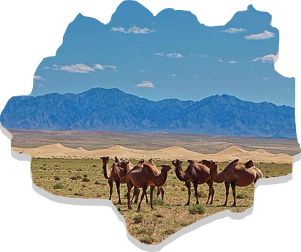
With a total border of 1,230 km, at its widest it is 425 km (Guchin Khudag to Khukh Del) and height north to south (Us Khar Hill to Uvur Tsagaan Ders) is 283 km. The territory contains steppe and Gobi desert zone. The highest point in plain steppe is at an elevation of 1,530 meters above sea level while the lowest point is 980 meters. The highest mountain – Delgerkhangai is 1,913 m. Mountain soil (dark brown, brown and light brown colored soil) is contained in a very small section of the province, found in the northern side of Adaatsag, Baga Gazriin Chuluu, Ugtaal Mountain and Ikh Gazriin Chuluu. The northern and central parts have hillocks and mound types of soil (brown, light brown, desertous steppe umber and Gobi-gray soil). In the southern and central parts, valley-type soil (20 types of soil from desert steppe) is widely found.