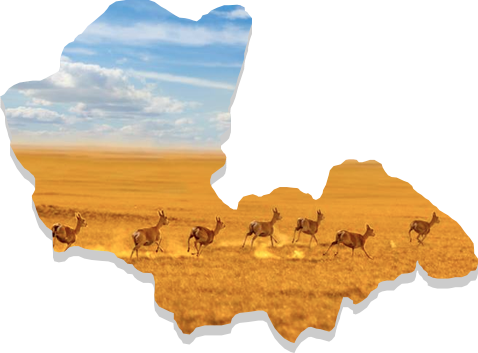
Dornod Province was established in 1931. It was originally named the Choibalsan Province after Communist leader Khorloogiin Choibalsan. This was changed to Dornod Province in 1963. Total territory of the province is 123,597 km2 and the capital is Choibalsan city.
Dornod Province is located in the easternmost area of Mongolia. The province borders with Chita Oblast of Russia in the north and with China (Inner Mongolian Kulunbuir, Khyangan and Shillin Gol provinces) in the south. Within the country, it borders with the Sukhbaatar and Khentii provinces. Plain steppe dominates the entire province. The lowest point of Mongolia – Khukh Nuur (560 meters above sea level) is in this province.
Rocks and stones from the Paleozoic era, as well as the Jurassic and Cretaceous era and Neogon periods are widely found in this area. The rivers Kherlen, Onon, Ulz and Khalkh run through the province, as well as the lakes Buir, Khukh, Galuut and Yakhi. There are mineral springs such as Tsagaan Khund, Utaatminchuur, Ereen and Tsagaanchuluut.
A major part of this province has steppe-light brown soil, while meadow-brown soil covers the northern and eastern part of the province. It is rich in steppe flora and considered as the most region with the most plentiful supplies of the resources for hay and pasture. This province is home to red deer, white antelope and Mongolian marmot.
