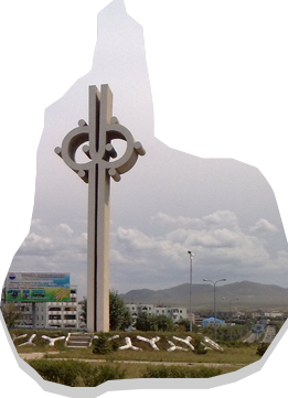
Darkhan-Uul Province has an area of 3,275 km2, covering the north-east valley of Kharaa River between branches of the Khentii Mountains in the northern part of Mongolia.
Despite its small geographical size, the province is rich in natural resources such as gold, limestone, coal and various types of raw materials used for construction products. It has an an average elevation of 707m and is thus located in relatively low area. Rivers including the Zulzaga, Shariin gol, Yuruu, Orkhon, Khuiten, Khavchuun and Kharaa river pass through the territory of this province, due to the Khentii Mountains and drain into Orkhon River.
Maximum temperature in the province is 42.60C in July and the minimum temperature is -43.7 0C in January. Annual average precipitation is 310 to 320 mm, of which, 85-90 percent or 284-290 mm of precipitation falls during the warmer months.
